Markierung: Quelltext-Bearbeitung 2017 |
test Markierung: Quelltext-Bearbeitung 2017 |
||
| (43 dazwischenliegende Versionen desselben Benutzers werden nicht angezeigt) | |||
| Zeile 1: | Zeile 1: | ||
=== Grundsätzlicher Test mit display-map === | === Grundsätzlicher Test mit display-map === | ||
{{#display_map: | {{#display_map: 52.51628 N, 13.37772 E~The city Berlin~Berlin is a really nice city and there is plenty of Club Mate~Label Lindelaufstr.1 3.png; | ||
Amsterdam~The city Amsterdam~Amsterdam is the capital of '''The Netherlands'''~Sigwinstr. 21 Kemp S. 30 mini.jpg | |||
Amsterdam~The city Amsterdam~Amsterdam is the capital of The Netherlands~ | |||
}} | }} | ||
<display_map height=" | <display_map height="300px" scrollwheelzoom="off" service="leaflet"> | ||
Gent, Belgie~The city Ghent~Ghent is awesome~ ~ ~Ghent | Gent, Belgie~The city Ghent~Ghent is awesome~ Marker 13 rot.png ~ ~Ghent | ||
Brussel~The city Brussel~The capital of Belgium~ ~ ~Brussels | Brussel~The city Brussel~The capital of Belgium~ Marker 11 rot.png ~ ~Brussels | ||
Antwerp~The city Antwerp~ ~ ~ ~Antwerp | Antwerp~The city Antwerp~Another City in Belgium~ Label Lindelaufstr.1 3.png ~ ~Antwerp | ||
</display_map> | </display_map> | ||
{{#display_map:Höhenhaus~Der Stadtteil Höhenhaus | {{#display_map:Höhenhaus~Der Stadtteil Höhenhaus ist relativ junger Stadtteil und eine ruhige Wohngegend.~ [[Datei:Sigwinstr. 21 Kemp S. 30 mini.jpg]] Mehr über [[Höhenhaus|diesen Stadtteil]] ~Label Lindelaufstr.1 3.png; | ||
Holweide~Der Stadtteil [[Holweide]] ist auch ein interessanter Stadtteil.~Text Holweide~Marker 11 rot.png | |||
|width=100%|height=600px|zoom=20|centre=Holweide|static=no|layers=OpenStreetMap.DE|geojson=Höhenhaus}}<span style="font-size:80%">[https://www.offenedaten-koeln.de/dataset/stadtteile Datenquelle: Stadt Köln – offenedaten-koeln.de]</span> | |||
|} | |} | ||
Aktuelle Version vom 21. Februar 2023, 15:31 Uhr
Grundsätzlicher Test mit display-map
Datenquelle: Stadt Köln – offenedaten-koeln.de
|}
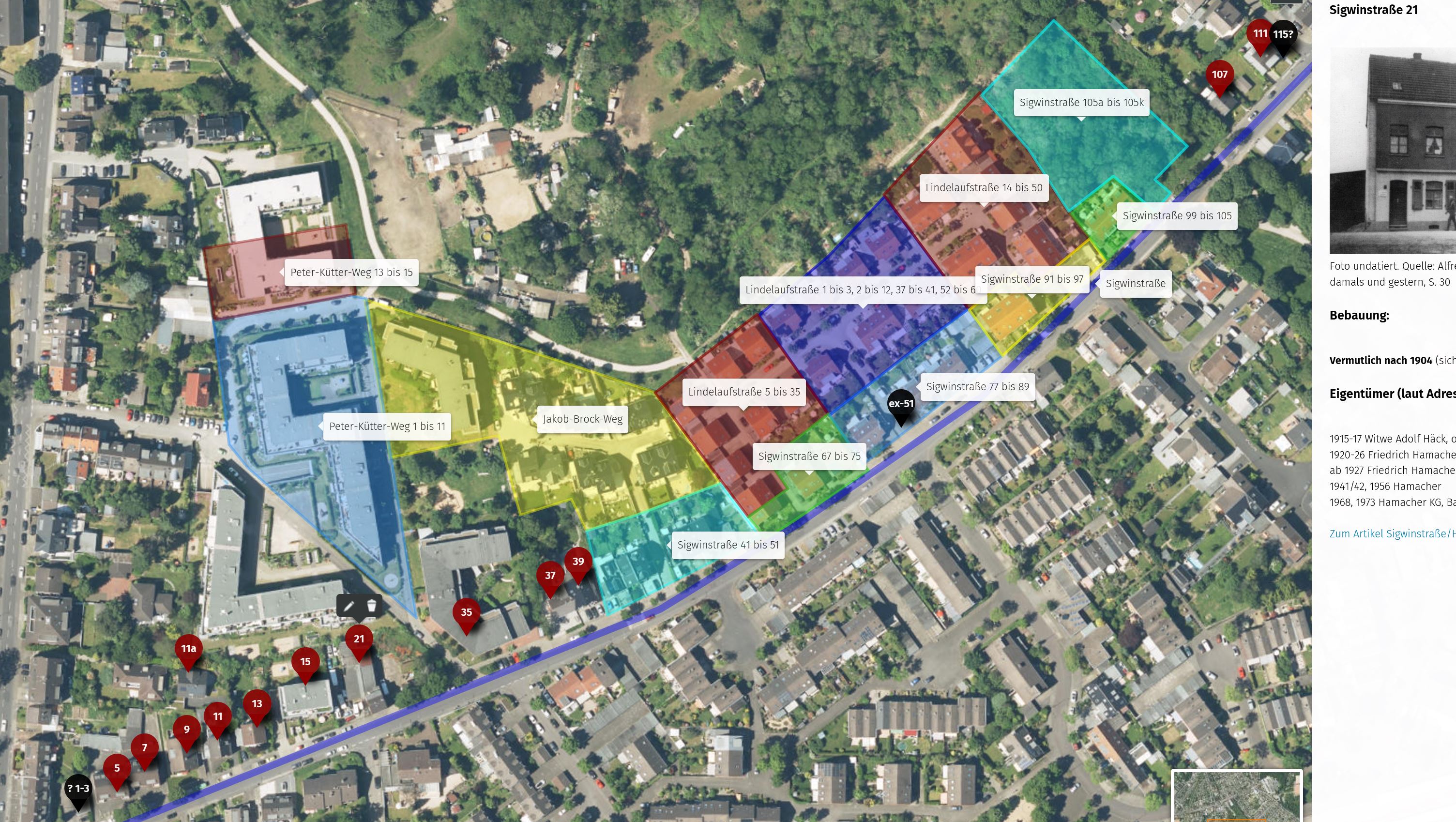
Interaktiver Übersichtsplan zur Sigwinstraße (bisher Test, zum Öffnen anklicken):

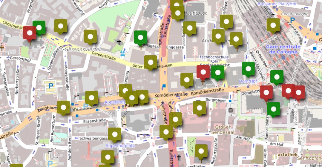
Das folgende Beispiel hat zwar nichts mit Höhenhaus zu tun, dient aber hier als Beispiel, wie ein umap über ein Bild in werden könnte:
Interaktiver Übersichtsplan der Köln Klöster (zum Öffnen anklicken):

